If you are searching for how to use mbta plan my trip to get around Boston efficiently, here is the short answer: use the official MBTA trip planner to map routes, check real time arrivals, compare subway, bus, commuter rail, and ferry options, and calculate total travel time before you leave your hotel. With the right strategy, the MBTA system becomes one of the easiest and most affordable ways to explore Boston like a local.
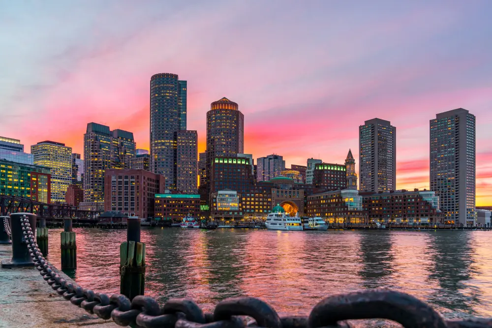
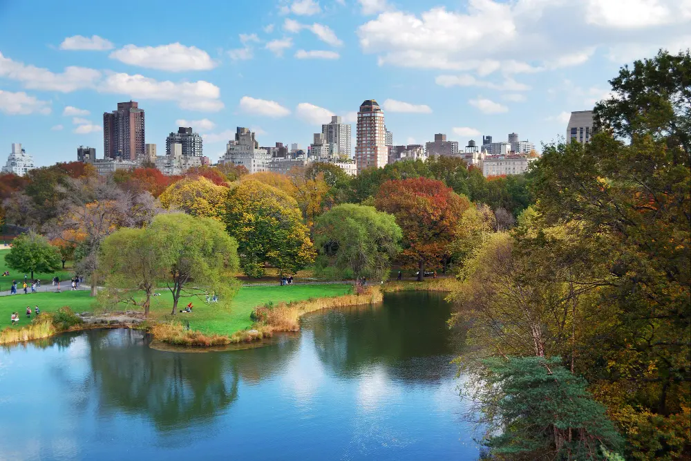
Boston is compact, historic, and incredibly walkable, but it is also layered with neighborhoods that stretch far beyond downtown. From Cambridge to Jamaica Plain, from Fenway to the Seaport District, mastering public transit can transform your experience. This guide will show you how to use mbta plan my trip effectively, how to avoid common mistakes, and how to move through the city with confidence.
Understanding the MBTA System Before You Arrive
The Massachusetts Bay Transportation Authority, commonly known as the T, operates subway lines, buses, commuter rail, ferries, and paratransit services. According to the official MBTA website, the system serves more than 170 communities in Massachusetts and parts of Rhode Island.
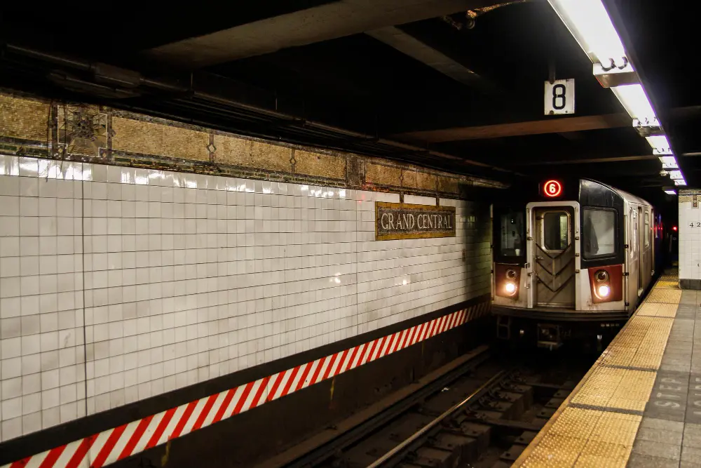
Boston’s subway network includes:
- Red Line
- Orange Line
- Blue Line
- Green Line, with multiple branches
These lines connect major visitor hubs such as:
- Fenway Park
- Boston Common
- Harvard University
- Logan International Airport
Before landing in Boston, take five minutes to explore the interactive system map and service updates page. Real time alerts can make the difference between arriving early for a Freedom Trail tour or scrambling after a delayed train.
How to Use MBTA Plan My Trip Step by Step
Using mbta plan my trip is simple, but doing it strategically is what separates a smooth day from a stressful one.
1. Enter Exact Locations, Not Just Landmarks
Instead of typing “Fenway” or “Harvard,” enter the full address of your hotel or attraction. This ensures the planner calculates accurate walking directions to and from stations.
For example:
- Starting point: Your hotel in Back Bay
- Destination: Fenway Park
The tool will show you:
- Closest subway station
- Recommended line
- Estimated travel time
- Walking distance
2. Check Real Time Arrivals
Boston traffic and service changes can impact bus schedules. The mbta plan my trip tool includes real time tracking. Always refresh the page before leaving your hotel.
According to the Federal Transit Administration public transportation data portal, real time tracking has significantly improved rider satisfaction and system reliability nationwide. Boston’s MBTA integrates this functionality directly into its trip planning tools.
3. Compare Subway vs Bus Options
In many neighborhoods, both subway and bus routes are available. The trip planner will show multiple options. Compare:
- Total travel time
- Number of transfers
- Walking distance
- Cost
Sometimes a slightly longer subway ride is easier than transferring between buses during rush hour.
| Feature | Subway (The T) | Bus (MBTA Bus Network) |
|---|---|---|
| Approximate Cost (One Ride) | $2.40 with CharlieCard, $2.90 with CharlieTicket | $1.70 with CharlieCard, $1.70 with CharlieTicket |
| Speed | Generally faster, especially during rush hour | Can be slower due to street traffic |
| Reliability | More consistent travel times, runs on dedicated tracks | Affected by traffic, road closures, and weather |
| Coverage | Serves major neighborhoods and key attractions | Reaches residential areas and routes not covered by subway |
| Frequency | High frequency on main lines | Varies by route and time of day |
| Comfort Level | Can be crowded during peak hours | Often less crowded outside peak hours |
| Best For | Downtown travel, airport connections, major tourist sites | Short neighborhood trips and last-mile connections |
| Weather Impact | Less affected by rain or snow | Can experience delays in heavy traffic or snow |
Getting From Logan Airport Using MBTA Plan My Trip
Arriving at Logan International Airport? Public transportation is one of the most cost effective ways to reach downtown.
You have several options:
- Silver Line bus to South Station
- Blue Line subway via airport shuttle
- Water taxi or ferry
Use mbta plan my trip immediately after landing to check current departure times. The airport also provides ground transportation details on the official Massport Logan transportation page, which outlines free shuttle connections to MBTA stations.
Pro tip: The Silver Line from the airport to South Station is free when boarding at Logan.
Planning a Full Sightseeing Day With MBTA Plan My Trip
Let’s say you want to visit:
- Boston Common in the morning
- Harvard Square in the afternoon
- Fenway Park for an evening game
Instead of planning each leg separately, use mbta plan my trip for each segment in advance and screenshot your routes. This reduces reliance on WiFi while exploring.
Morning: Boston Common
Start at Park Street Station on the Red or Green Line. This is one of the oldest subway stations in the United States, and it places you directly at the edge of the park.

Afternoon: Harvard Square
Take the Red Line toward Alewife and exit at Harvard. The station drops you in the heart of Cambridge, steps from bookstores, cafes, and the historic campus.

Evening: Fenway Park
Use mbta plan my trip to check whether the Green Line C or D branch is faster from your current location. During game nights, trains can be crowded, so leaving early helps.
For official game schedules and event timing, consult the MLB Fenway Park schedule page, which can help you align your transit timing.
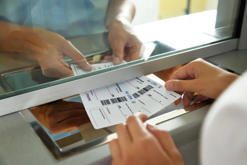
Buying Tickets and Managing Costs
Boston uses the CharlieCard and CharlieTicket system. You can purchase fares at station kiosks or load funds digitally.
Current fare information is published on the MBTA fares page. Options include:
- Single ride tickets
- 7 day passes
- Monthly passes
- Commuter rail zone based fares
If you plan to explore extensively for several days, a 7 day LinkPass often provides better value.
Travel budgeting tools such as the U.S. Department of Transportation transit cost resources highlight how public transit can significantly reduce daily travel expenses compared to rental cars in urban areas.
Avoiding Common Mistakes When Using MBTA Plan My Trip
Even experienced travelers can make small errors. Here are the most common ones and how to avoid them.
Ignoring Weekend Service Changes
Boston frequently adjusts schedules for maintenance. Always check alerts before heading out, especially on weekends.
Not Accounting for Transfers
Some routes require line changes at busy stations like Downtown Crossing. Build in an extra 5 to 10 minutes for transfers during peak hours.
Overlooking Walking Time
The planner includes walking segments. If it says 8 minutes of walking, that is realistic. Wear comfortable shoes, especially in winter.
Using MBTA Plan My Trip in Winter
Boston winters can be unpredictable. Snow and ice may affect above ground Green Line branches or bus routes.
Use the planner’s departure time filter to see alternative routes. Sometimes an extra transfer can help you avoid weather exposed stops.
The National Weather Service Boston office provides up to date forecasts, which you can check before planning your day’s transit strategy.

When to Combine Walking With Transit
Boston is one of the most walkable cities in the United States. According toWalk Score city rankings, central neighborhoods rank extremely high for pedestrian accessibility.
Use mbta plan my trip to get close to your destination, then explore on foot. This is especially useful for:
- North End food tours
- Beacon Hill photography
- Seaport waterfront walks
Walking also allows you to avoid short, crowded subway rides during rush hour.
Is MBTA Plan My Trip Better Than Ride Sharing?
Ride sharing services are convenient, but they come with surge pricing and traffic delays. During peak hours, downtown traffic can dramatically increase travel time.
Public transit advantages include:
- Dedicated rail tracks
- Lower cost
- Environmentally friendly travel
- No parking stress
For airport trips during non rush hours, ride sharing may be competitive. However, for daily sightseeing, mbta plan my trip typically offers more predictable timing.
Final Tips to Navigate Boston Like a Local
- Download the official MBTA app before arrival.
- Screenshot your planned routes each morning.
- Leave 15 minutes early for events.
- Check real time alerts before boarding.
- Keep your CharlieCard accessible for quick tap entry.
Boston rewards travelers who plan ahead. The city’s layered neighborhoods, historic streets, and waterfront views are easier to enjoy when you are not worried about transportation logistics.
Using mbta plan my trip properly turns the MBTA from a confusing map into a powerful tool that connects every corner of the city. Whether you are catching a game at Fenway, touring Harvard, or walking through Boston Common, mastering the trip planner ensures you move through the city confidently and efficiently.